On Ponmudi (Photo: Shyam G Menon)
The story of these southern Kerala tea estates go back several decades. It showed up on the Internet in a 1914 edition of Southern India: Its History, People, Commerce and Industry; a book compiled by Somerset Playne, J.W. Bond and edited by Arnold Wright. As I found out later the book which details the initial phase of South Indian estates had become essential reference for plantation companies in the Ponmudi region to establish their origin.
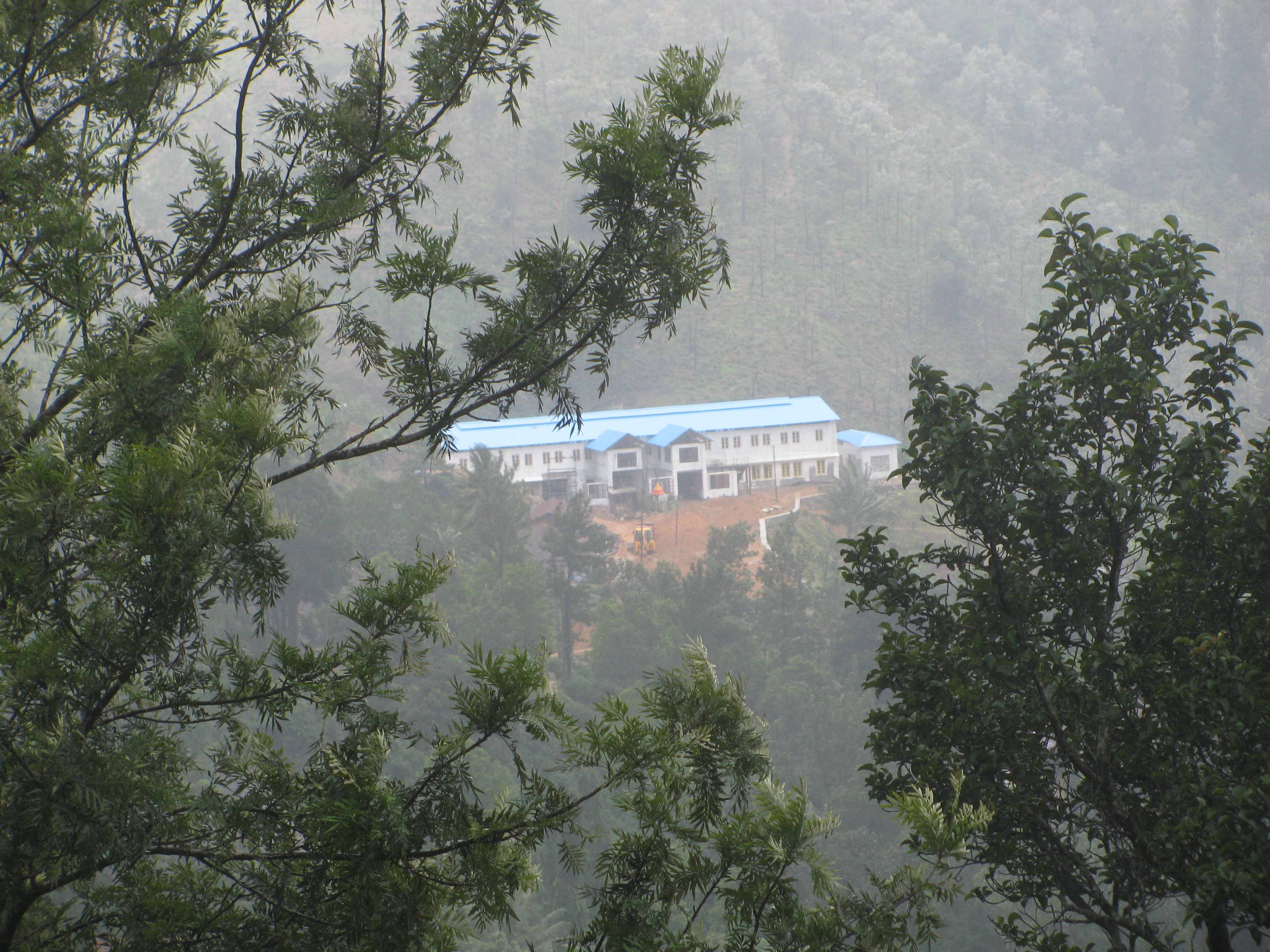
According to it, The Ponmudi Tea and Rubber Company Ltd was formed in 1900. The property consisted of three estates – Ponmudi, Bon-Accord and Braemore, all of which were in the district of Ponmudi in the native state of Travancore. The estates spanned an area of 3276 acres with the cultivated portion totaling 1710 acres, featuring tea and rubber. Mr J.S. Valentine, the managing director, had arrived in India in 1875. At that time, the area was planted with coffee but all that coffee was lost in the blight that hit Kerala’s coffee. Subsequently in 1884, tea was planted in Ponmudi and in portions of the other properties. The climate was good for tea; the rainfall of almost 160 inches experienced annually was heaviest in June, July, August, October and November. The yield of tea was highest in Ponmudi followed by Bon-Accord and Braemore in that order. In January 1915, when these observations about the estates were penned, the region had about 1510 acres under tea and 200 acres under rubber at the three estates. There were tea factories at all three properties and the produce was shipped under the company’s brand through the ports of Kochi and Tuticorin for sale in London. Two thousand laborers worked in the plantations; they were drawn equally from Malabar, south Travancore and Tinnevely, the Tirunelveli district of present day Tamil Nadu. Mr Valentine lived in Ponmudi, Mr R. Ross with Mr David Welsh, assistant, was in charge at Bon-Accord and Mr I.R.N. Pryde looked after Braemore. The company’s registered office was at 4 Lloyd’s Avenue, London.
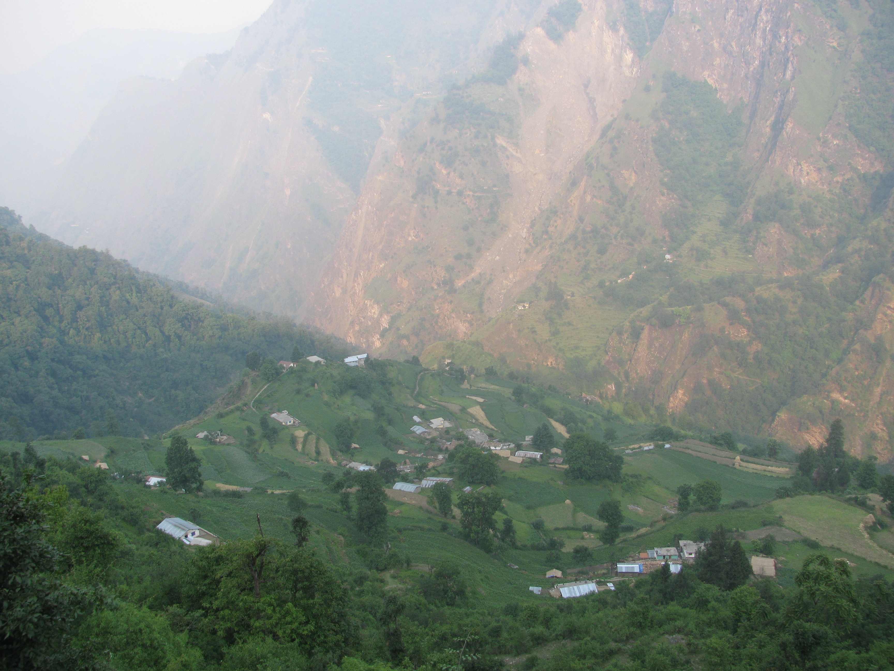
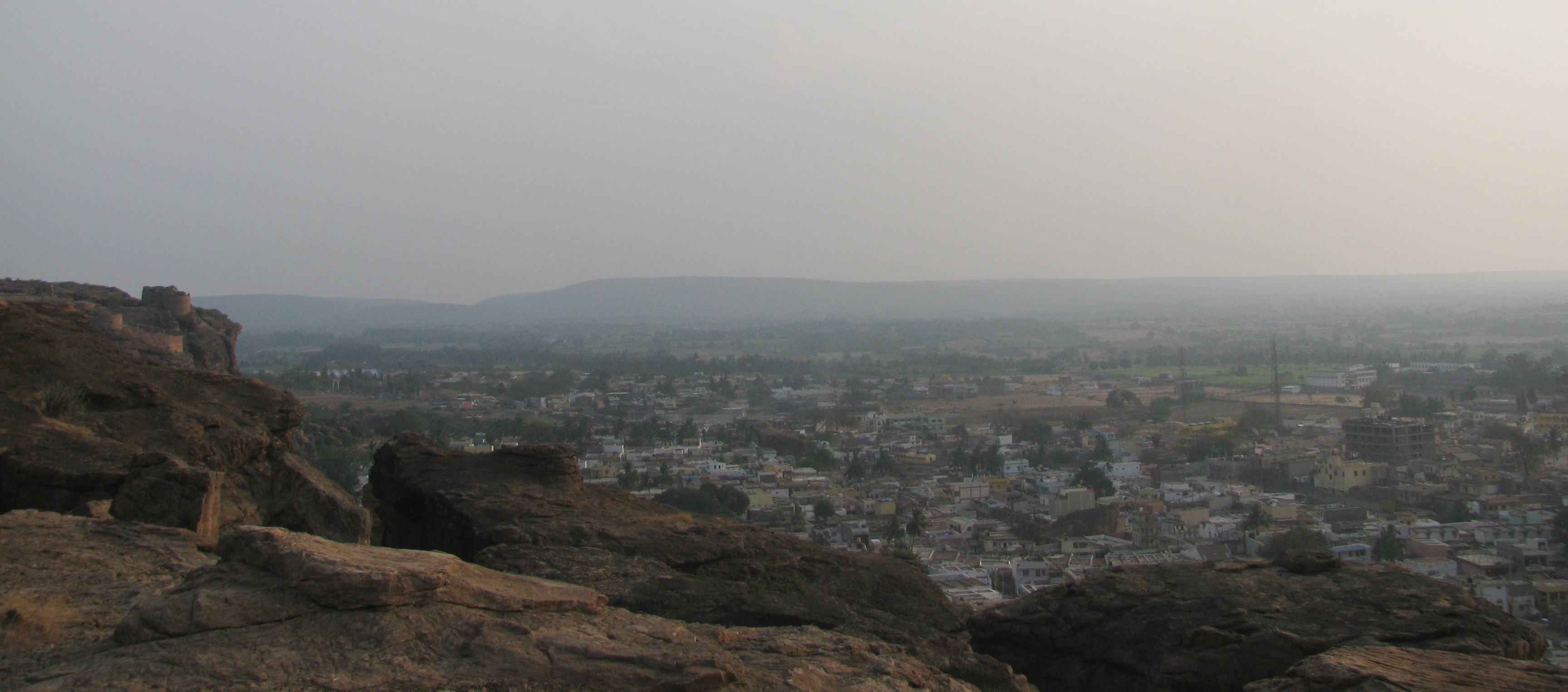
The three estates are now separate. They draw their lineage from the Ponmudi Tea and Rubber Company. When I was a school student in Thiruvananthapuram, the Ponmudi area was identified with tea and as I understood in retrospect from my inquiries, foreign managers were still there. They were present in Ponmudi till the late 1970s. It was also from these parts that I first heard the name Birla. Jayasree Tea, a company belonging to the B.K. Birla group and a leading tea company in India, had come to own a plantation called Merchiston in Ponmudi. But there was trouble brewing, scripted possibly by paradigm problems visiting the tea business in the state. In fact, while I was still living in Thiruvananthapuram and yet to be journalist, reports had commenced of labor problem and slow decay at the tea estates.
Gangs of forest workers were preparing the trail for the upcoming season. Here and there, they had set fire to dry grass in a controlled fashion. Our guides stopped to talk to their colleagues. On one such occasion, we had walked ahead and paused to pick up a hollow plant stem, hacked and lying on the ground. It was a fascinating object, like a green telescope tube. Just then the guides appeared. “ Did you cut it?’’ Raju asked a tad belligerent in tone.
Neither the query nor the tone should have surprised us. The forests around Agastyakoodam have been known for long as a treasure trove of medicinal plants. Years ago, it used to be casually explained; people would link the incidence of medicinal plants in the region to the apothecary traits of sage Agastya himself. But the present day global pharmaceutical industry has no appetite for either myth or nature. For it, the undiscovered potential of the plant wealth of Agastyakoodam posed clear commercial value. Its exploitation could be restrained or properly administered only by the rule of relevant laws, something quite distant to the tribal world of the Kani community. Rumors abounded of plants smuggled out for analysis.
Even the comparatively successful story of the endurance drug Jeevani was not spared controversy. The discovery of its existence or rather that suspicion of something like it which precedes all real discovery, had been in circumstances very similar to what we found ourselves in. A group of scientists were out in the Agastyakoodam forests, their guides like ours, walking briskly ahead mile after mile. The guides were hardly tired while the team behind was getting progressively exhausted. They noticed that the Kani men were chewing something, which on inquiry turned out to be the leaf of a plant locally known as Aarogyappachcha. From it, scientists of the Tropical Botanical Garden and Research Institute near Thiruvananthapuram created the medicine, Jeevani. Although the Jeevani business model was eventually recognized internationally as a role model in its category, sharing the profits from manufacturing the drug with the Kani community, whose natural home land the Agastyakoodam forests were, there was controversy later when a US company patented the drug in that country. The tribal community – as evidenced by the attitude of our two guides – appeared to have learnt the value of cautious dealings with the outside world. “ We were ignorant,’’ Binu said.
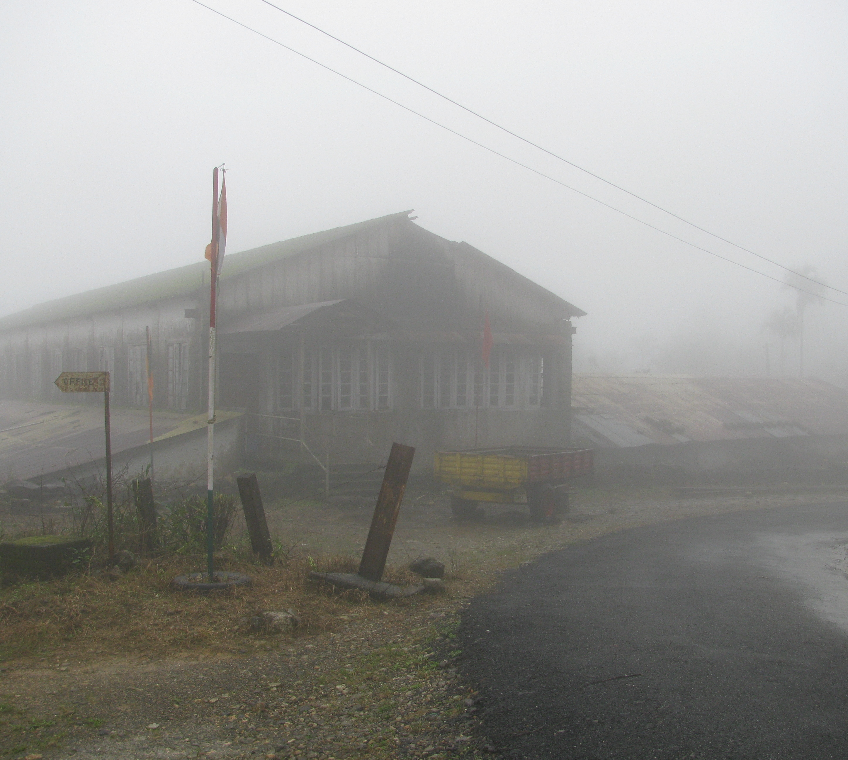
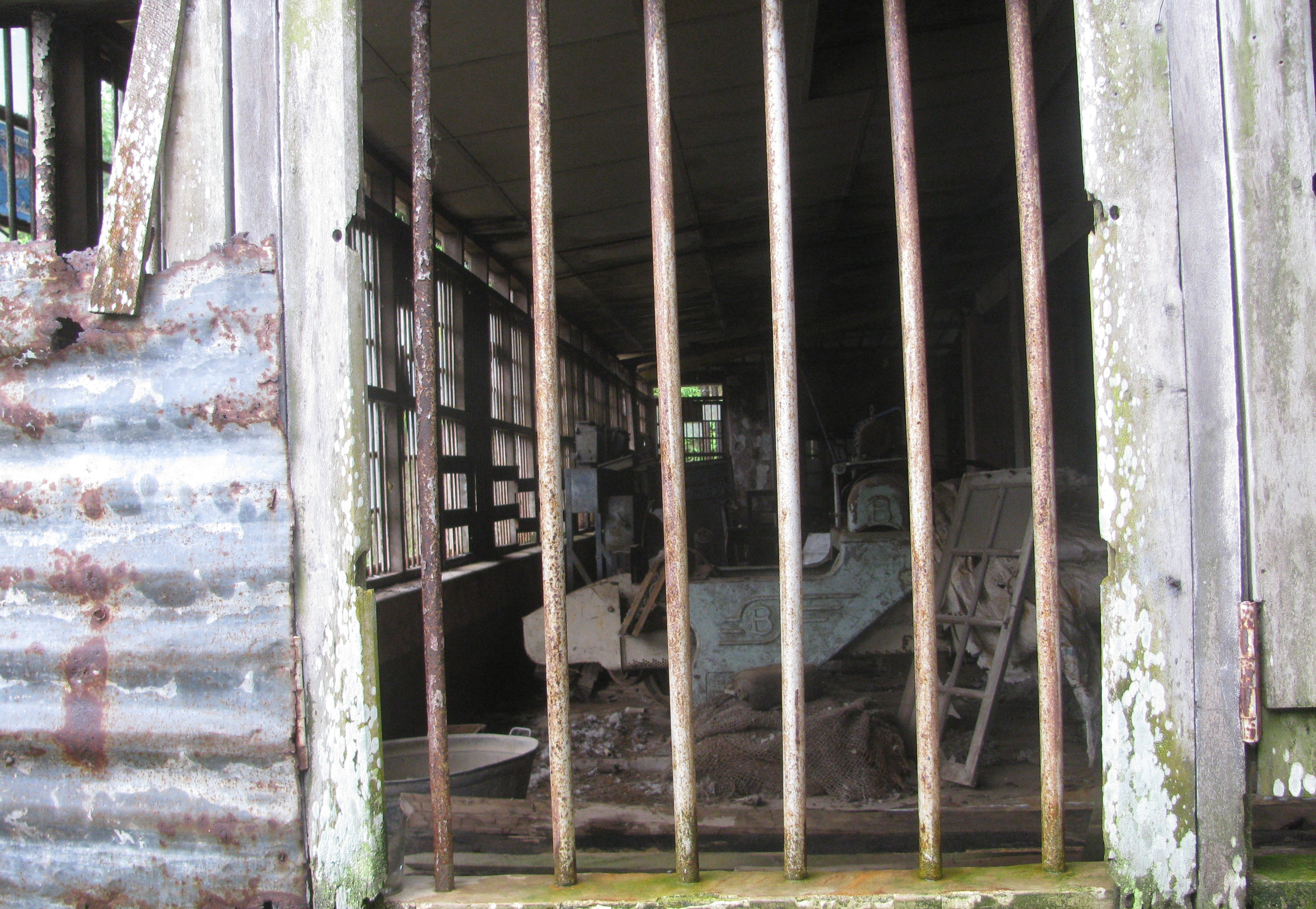
The office of the old tea factory at Ponmudi (Photo: Shyam G Menon)
The Merchiston factory near Ponmudi (Photo: Shyam G Menon)
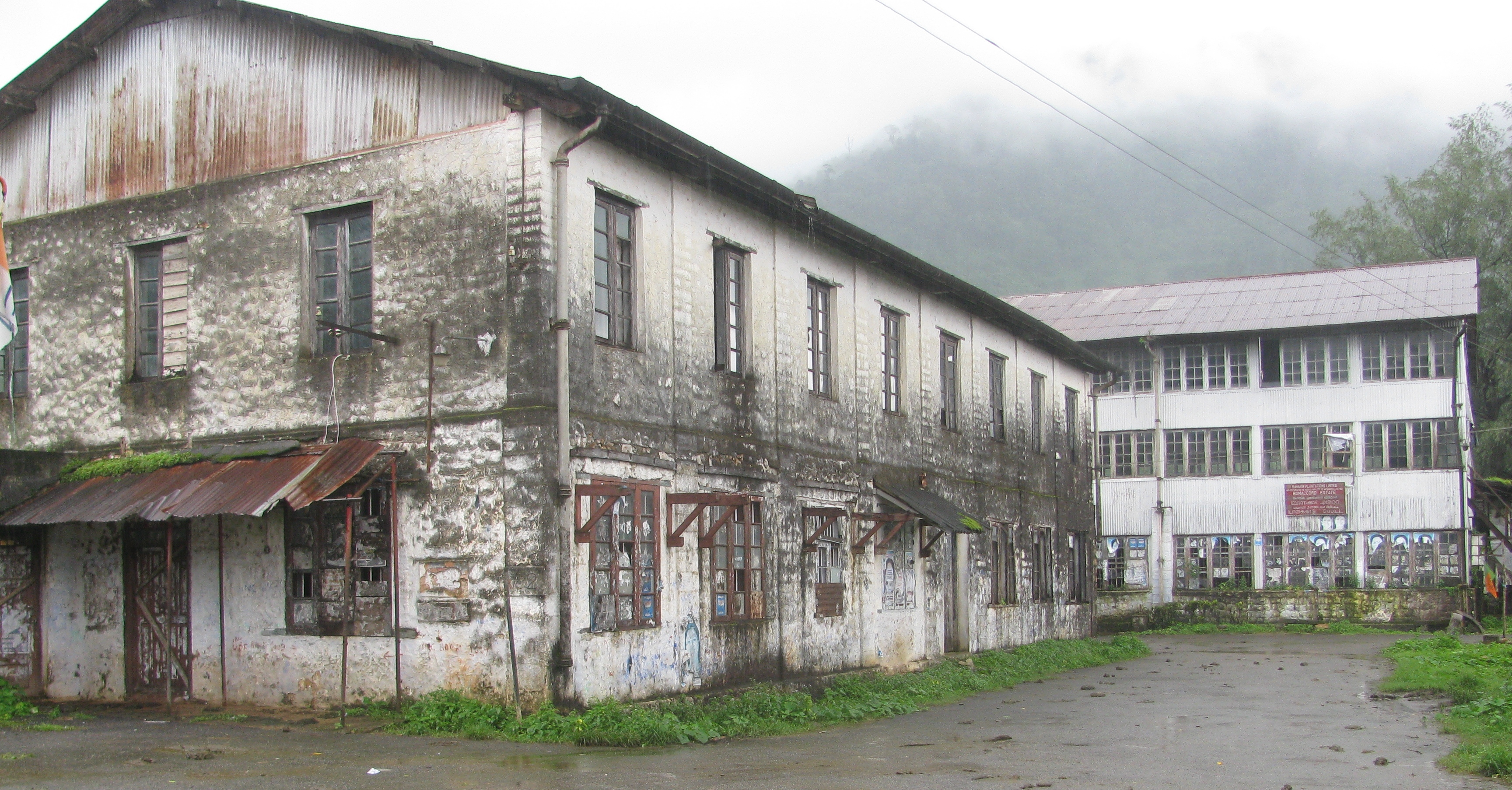
The Bonaccord factory (Photo: Shyam G Menon)
At the root of the tea estates’ problems was Kerala’s entry, some seventy five years after tea plantations reached the state, into an era of turbulent politics and social upheavals. One of the lasting legacies of this trend, ironically a byproduct of increased awareness, has been a level of politicization often deemed excessive for the common good. In this atmosphere, the plantation industry was one of the state’s largest tax payers and also one of its biggest employers. Political parties with their compulsion to cultivate vote banks rarely saw beyond these two obvious attributes – one of the largest tax payers and one of the biggest employers.
The mood in January 2009 at the plantation offices I visited in Thiruvananthapuram was hardly upbeat. Tea prices were down; input costs – a chunk of that labor cost – had gone up and labor productivity was low. Within labor cost, the argument from the planters was that the fixed components had risen handsomely while the variable parts, linked to productivity, moved up sluggishly. Also traceable in the economics was a logic rooted in the very nature of tea and mentioned at the time of its arrival in Kerala – the regular human intervention warranted for its cultivation demanded economies of scale alongside for affordability. The south Kerala plantations were neither very big nor was their produce high on the pecking scale at tea auctions. A cursory inquiry with tea brokers in Kochi in 2009 revealed that in general the teas from Munnar ruled the top in local auctions while the south Kerala estates stayed at the bottom in terms of price and quality. It was not hard to comprehend why the pincer bit hard at Ponmudi.
In 2009, of the big names in the Thiruvananthapuram region, only one tea plantation company seemed to be working normally, free of controversy. Its focus was organic tea, something the others were yet to deem commercially viable although improving end product price through imaginative value addition seemed the only way out from prevailing predicament. But this company too had temporarily run into a glitch courtesy the Forest Department whose office was situated not far from that of the plantation company’s in the city. In rules produced some years ago to define forest lands, the department had drawn survey lines through estate tracts befuddling the owners. For the company it suddenly became questionable to weed its contested plantation for that could amount to deforestation. That was the dilemma in 2009 at what seemed the less troubled tea company of the lot.
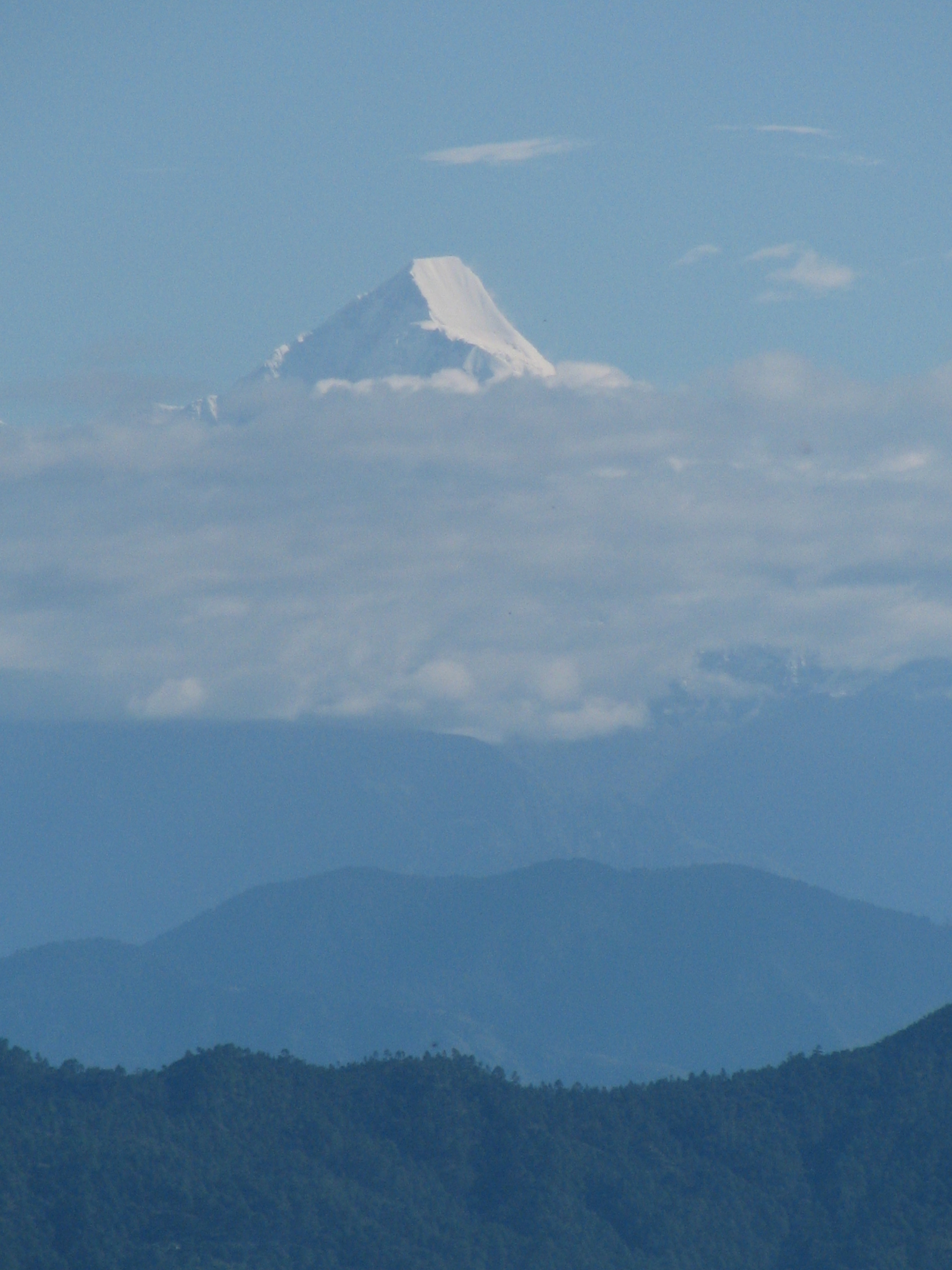
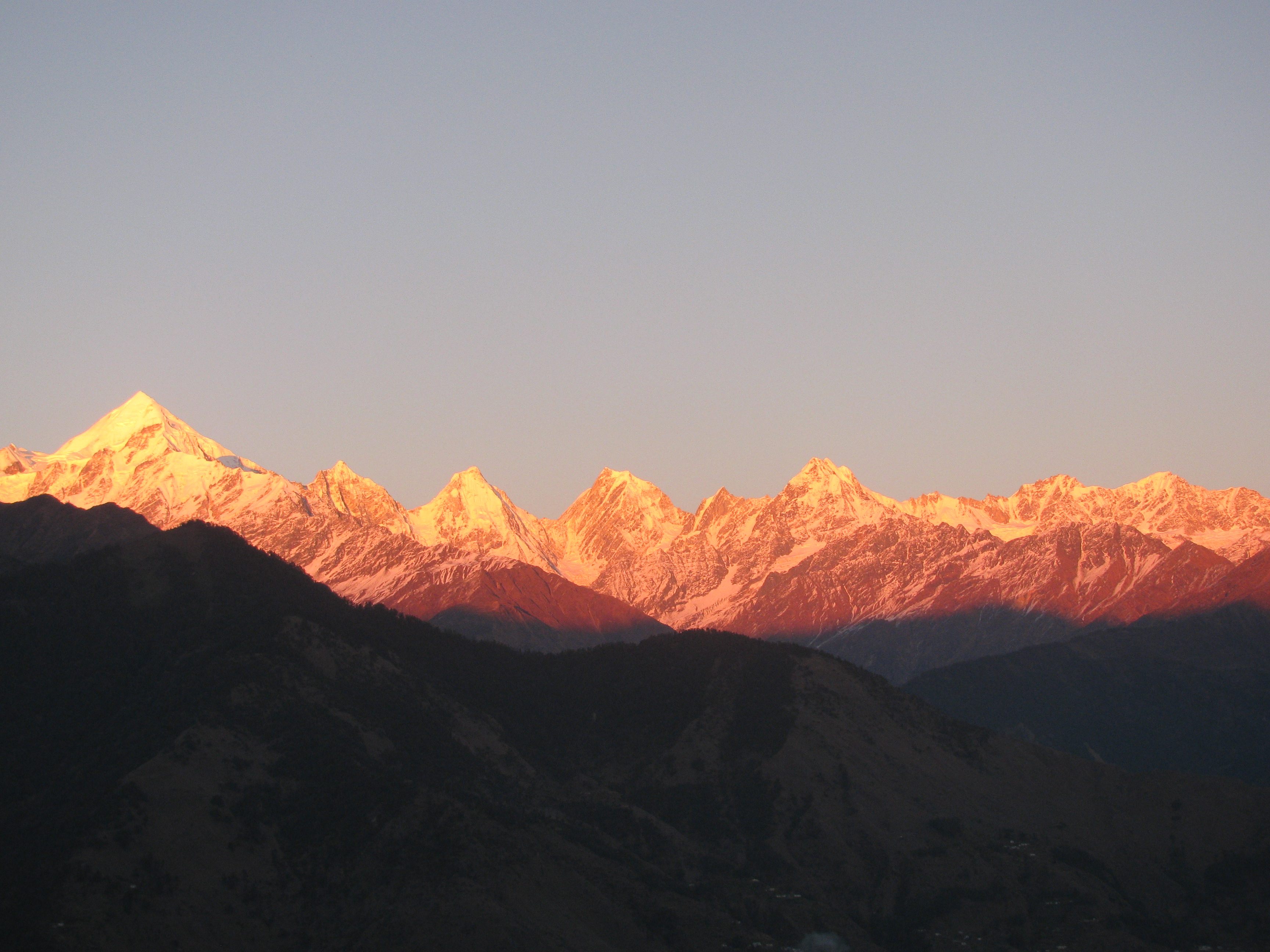
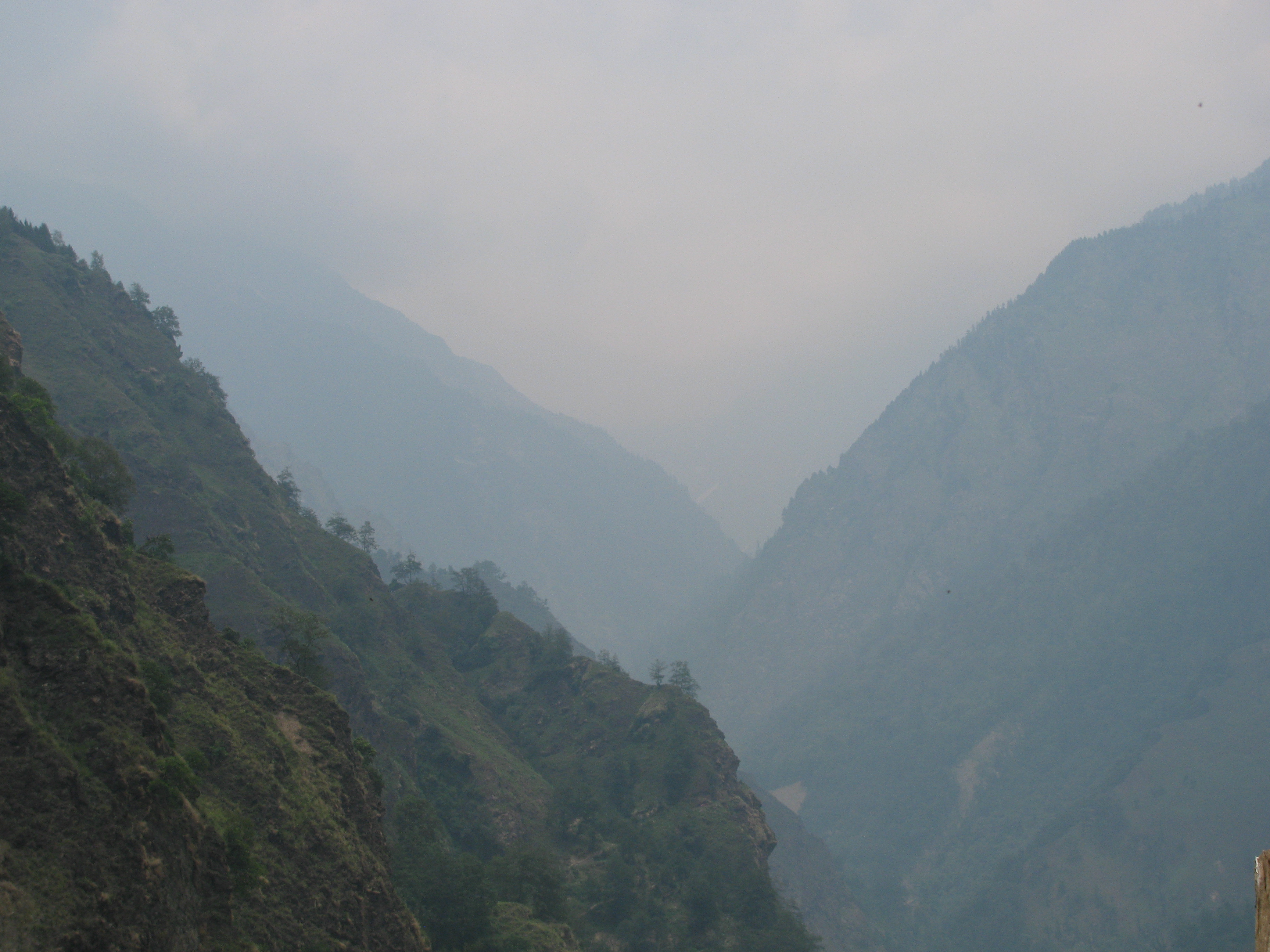
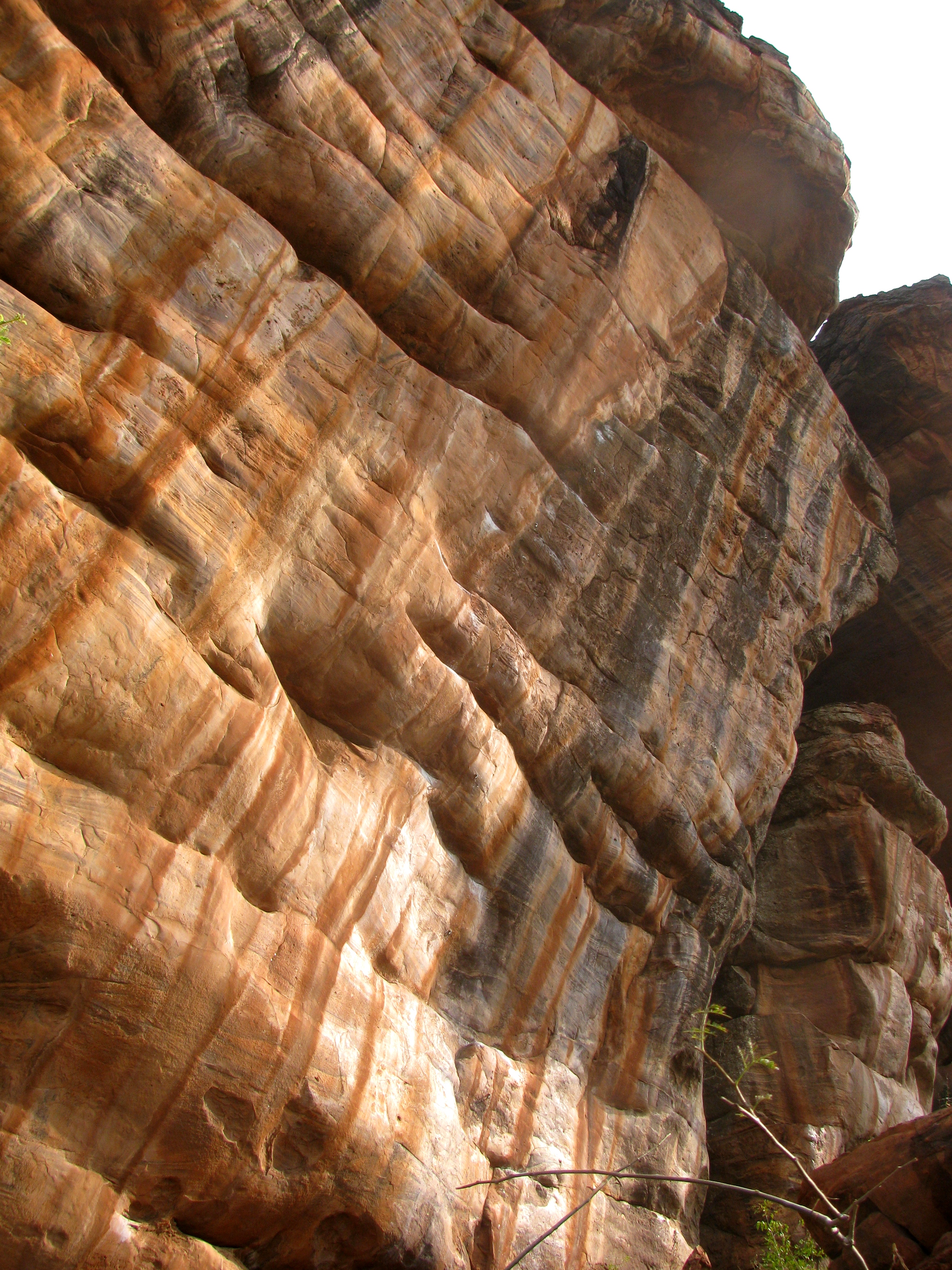
About three hours into the hike, we broke free of dense forest into a patch of tall grasses with scattered trees. From here the Agastyakoodam peak towered in the distance; its long flanks made us wonder if the goal of reaching the top by evening was feasible. It was now noon and the sun was harsh. Just then the walk entered open terrain with nothing for shade. It was only after half an hour slogging through the heat and glare that the trail reentered shaded forest. When it did the going was suddenly steep. The combination of heat and steepness was rather dehydrating and it was a tired group that hit the forest rest house by late afternoon. We would be staying here for the night. Right in front of the building, the peak loomed big, that same perfect triangle as seen from Neyyar Dam. Now you could see it in detail and if you were given to climbing, read that rock face for vertical lines to the top.
Bags lightered, we decided to push on and reach the top by evening. Getting back through forest at night may be difficult but we had torches and our guides appeared confident of navigating. You could say that the real climb up Agastyakoodam is the hike beyond the rest house, whatever had been traversed till then was the stuff of foothills. Binu pointed to a distant streak of red on the peak’s rock face. He claimed that the ooze, locally called kanmadam, held medicinal properties. What he said next was hard to swallow – that the king cobra loved to taste it. It was a fantastic image – mysterious red ooze from rock as favored food for the world’s longest poisonous snake. Wasn’t it a bit too fantastic? I left it at that.
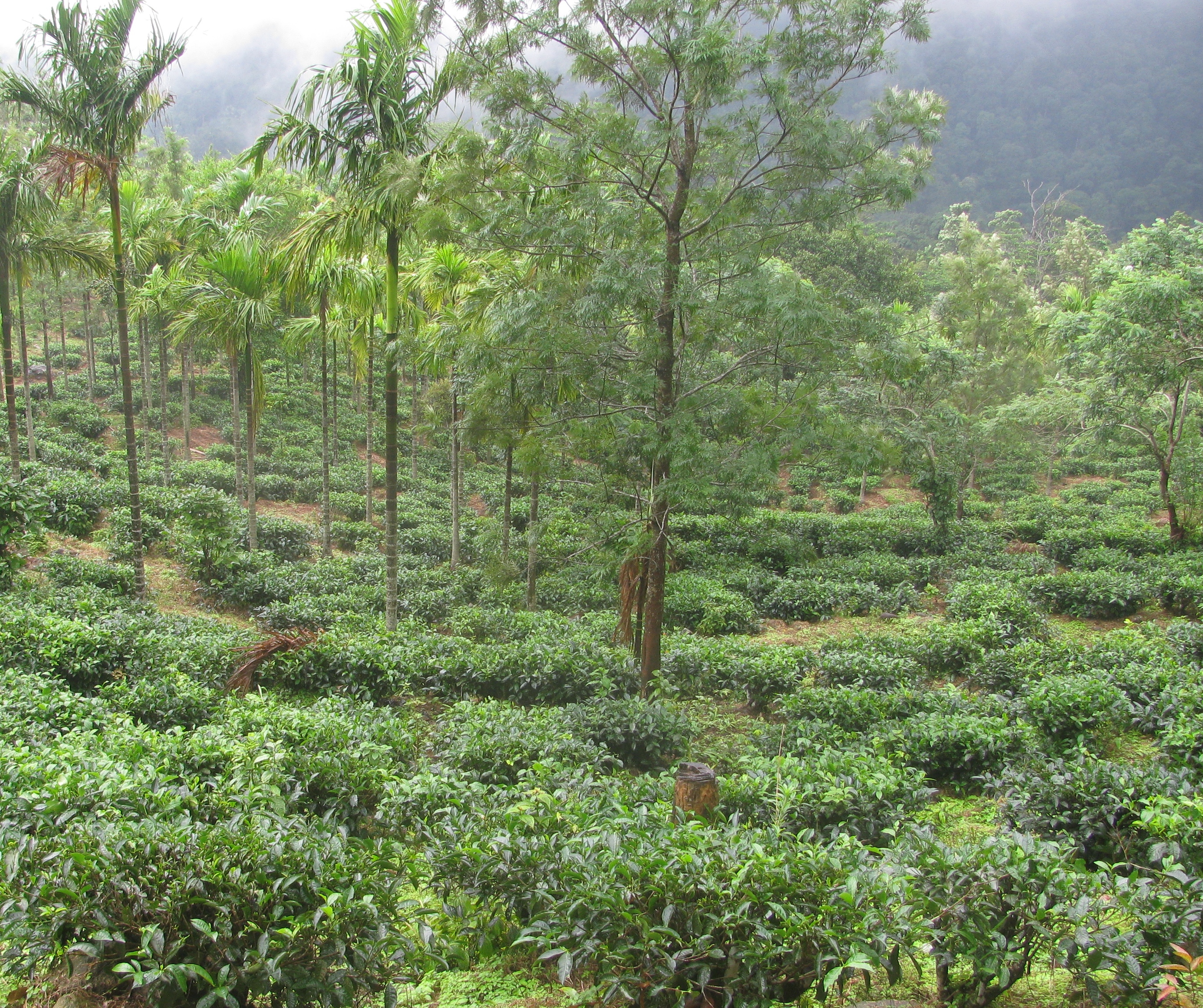
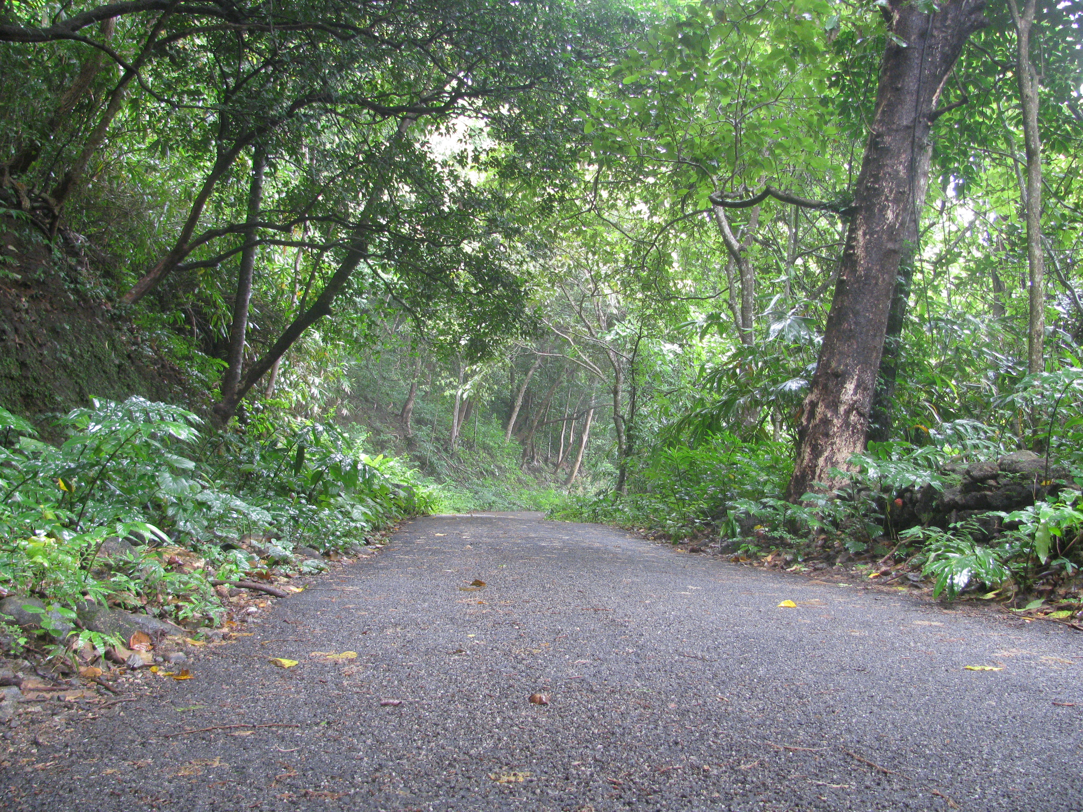
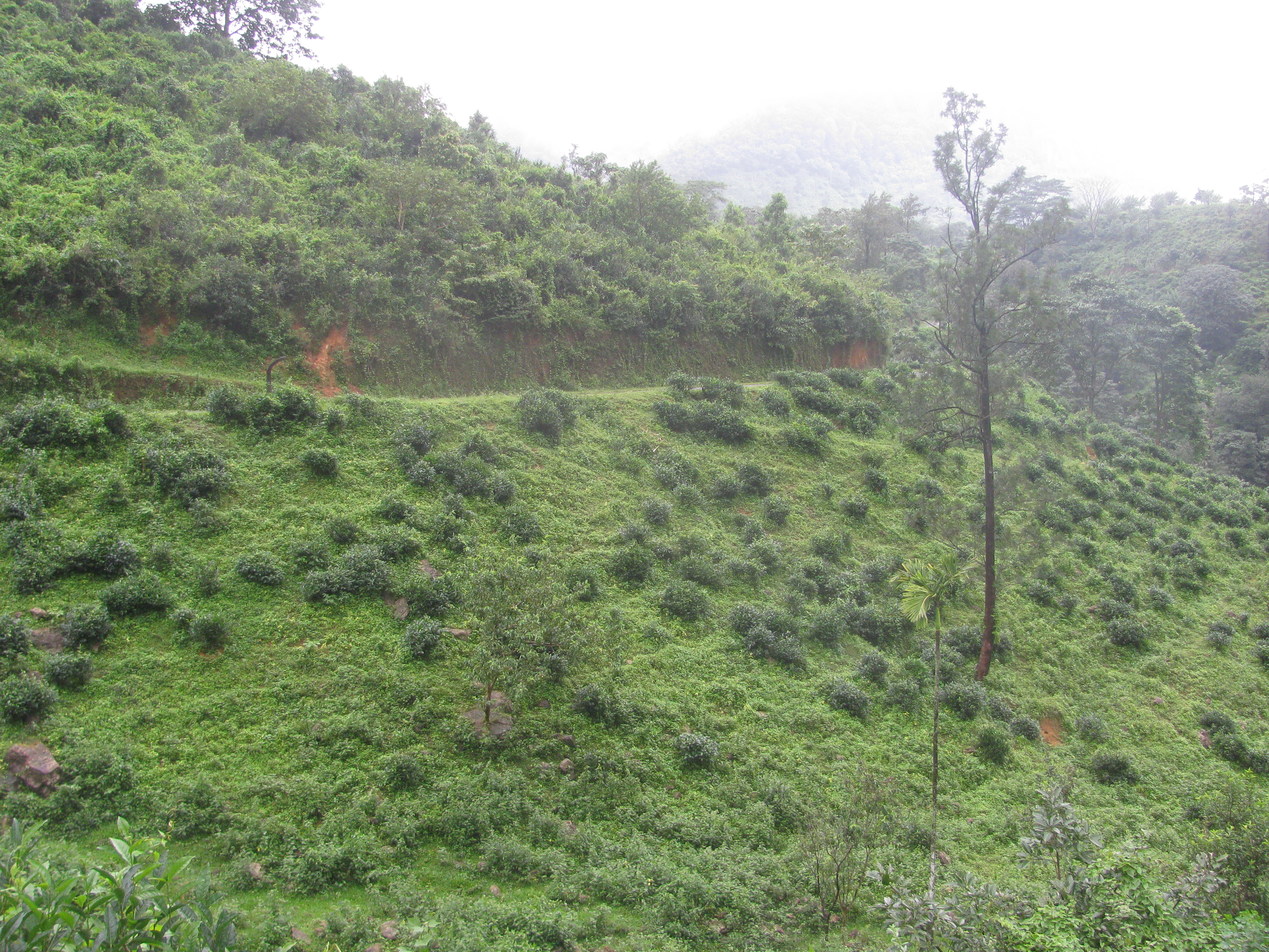
Tea gardens near Ponmudi (Photo: Shyam G Menon)
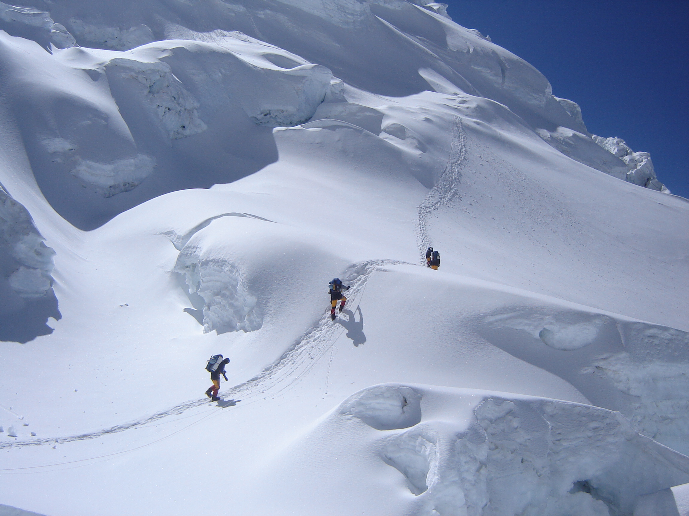
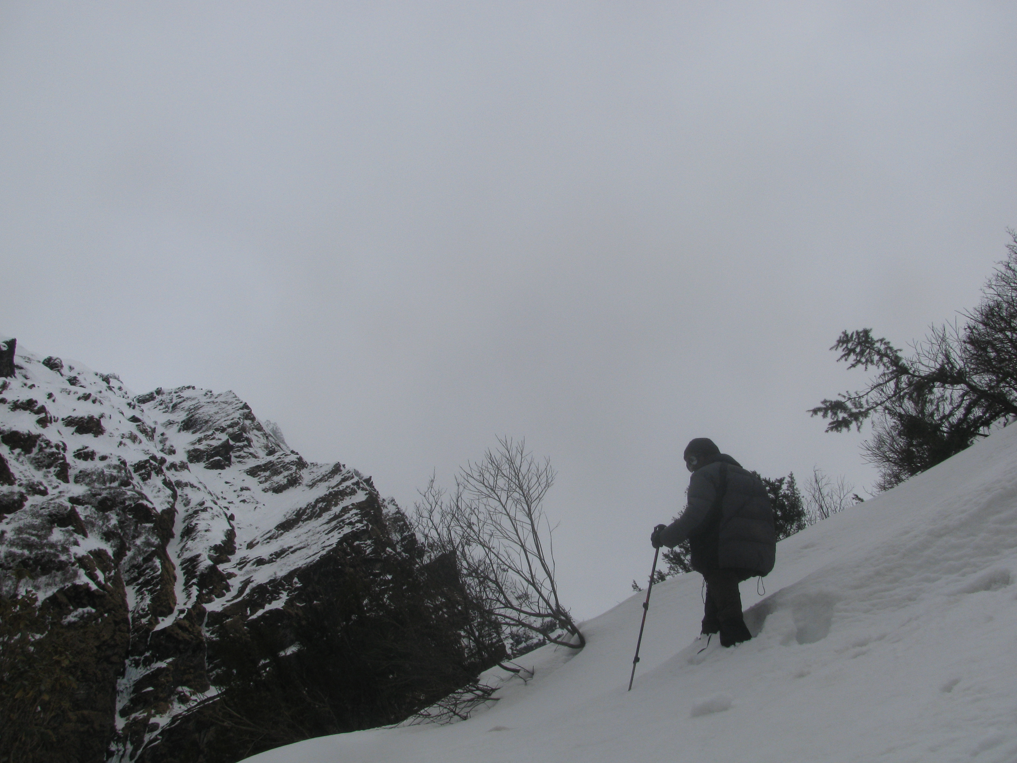
The trail was now getting steep and narrow featuring stray deposits of elephant dung. The watchman at the rest house had warned that a few elephants were present in the locality. An hour later, we were at the mountain’s shoulder, its rocky apex sat like a solid hump to the right; it was a sheer drop on the side facing the rest house below. The boundary line separating the states of Kerala and Tamil Nadu ran along the mountain’s ridge. It was carved into the rocks, these separate loyalties – the sea shell emblem of Kerala and a sort of arrow mark for Tamil Nadu, which the two Kani men called “ kozhikkalu’’ or chicken leg. Back in Thiruvananthapuram, this arrow mark failed to convince learned people for they said the Tamil Nadu emblem had traditionally been the temple tower; unless the tower got simplified to an arrow mark. From the mountain’s shoulder you could comfortably gaze into Tamil Nadu, the nearest town that side being Ambasamudram. The path up from the shoulder was a mix of rock strewn gully and a steep, narrow path.
Half way up the path, we saw fresh elephant dung. The contrast it presented was hard to ignore. How could such a massive beast pick its way up so small a path? Elephants are capable of some gingerly done walking but this appeared to indicate a truly nimble specimen. Binu however treated it as normal. As we prepared to tackle the rock patches above, we heard some trumpeting in the distance. The rock patch was fun; it is bound to be so for anyone acquainted with climbing. There was a stout rope fixed to a thicket but if you are familiar with walking on angled rock and have a trekking pole for friend, then the rope is not required there or anywhere on the final ascent. On the other hand what you feel while walking up on two legs on that slab is a notion of poise and fresh air, a sense of freedom, a sense of having finally broken through dense vegetation and being able to see unhindered for miles.
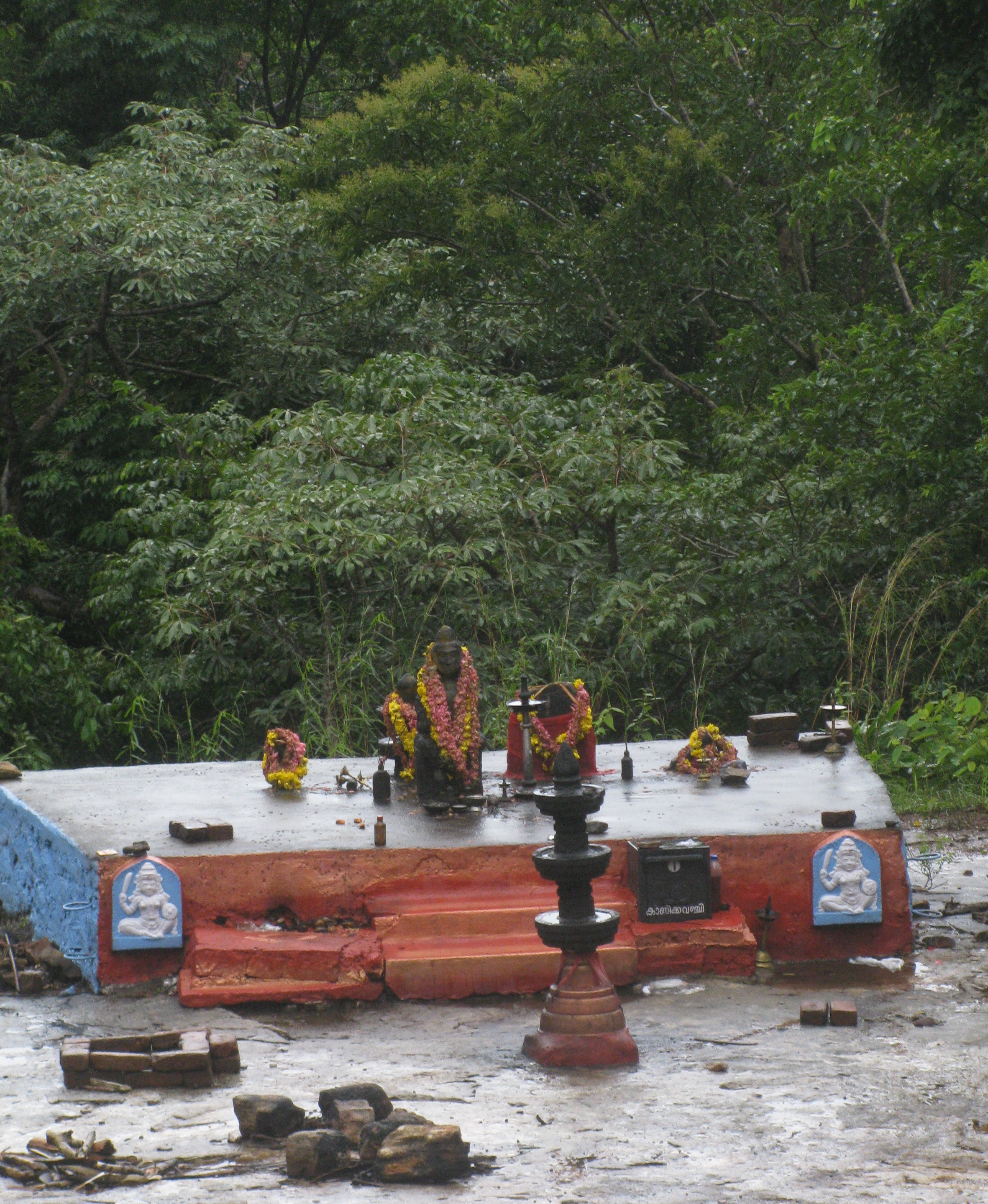
The peak here has two neighbors – Athirumala, located in line with the boundary dividing the two states and having a name derived from the Malayalam word athiru, meaning boundary. The other was a fierce mountain with five summits all of them sharp pinnacles. The entire formation stood like an arrogant upward thrust from the forest floor. The Kani men called it Anchilappothi and it reminded me of those spires in Patagonia and Karakorum that the world’s best rock climbers go to attempt. Perhaps a smoother version for these tall pinnacles didn’t seem as jagged or rugged. “ Nobody goes there,’’ Binu said, as we stood looking at those pointed peaks, from the top of Agastyakoodam. There was nothing on the summit of our peak save a couple of more rock engravings to denote the state boundary, a solitary idol of the sage Agastya and items of worship replete with left over offerings. The idol matched the description of the sage in Hindu mythology as a small, stout person. Agastya though, was a powerful sage, one of the most powerful in the list of Indian hermits. Two things characterize his story – a fantastic birth and continued mention across the ages, making him some sort of an eternal being. In between was the tale of him taming a fast growing mountain in central India, the Vindhya. When Vindhya threatened to exceed the Himalaya in height, the gods sought Agastya’s help – so goes the story. The sage who was proceeding south asked the mountain to reduce its height for him to cross and keep it that way till he returned. Agastya never returned; he stayed south. The belief is that he built his hermitage in the forests around the Agastyakoodam hill. As for Vindhya, it remains to date a set of hills, smaller than even the Western Ghats.
…..to be continued
(The author, Shyam G Menon, is a freelance journalist based in Mumbai)